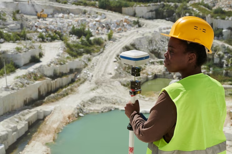
Pioneers of Geomatics Engineering & Geospatial Information Systems
We transform complex spatial data into actionable insights that drive decision-making for businesses, governments, and organizations worldwide.
Read More
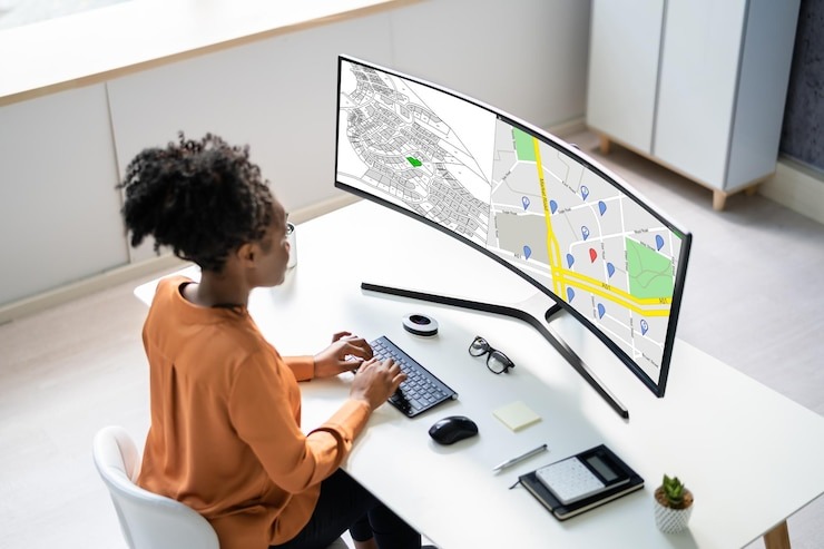
Advanced Geospatial Solutions for Modern Challenges
From urban planning to environmental monitoring, our geomatics expertise helps clients visualize, analyze, and leverage spatial data for better outcomes.
Our Services
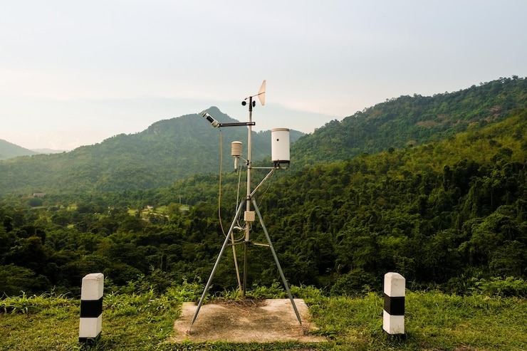
Innovation in Geospatial Technology
Our team combines cutting-edge technology with deep industry expertise to deliver precise, reliable, and innovative geomatics solutions.
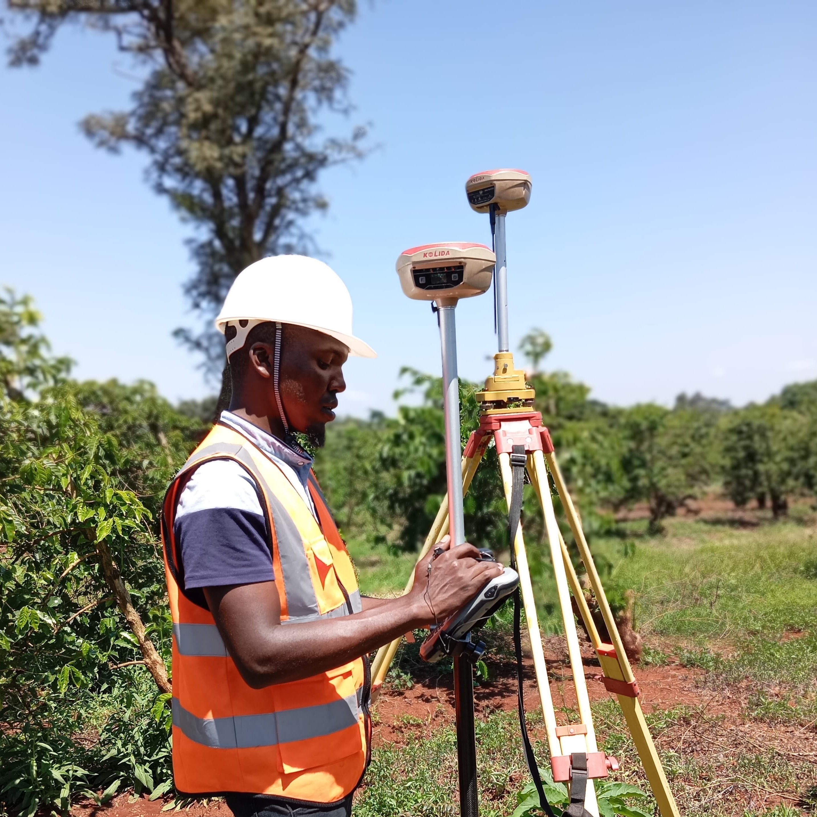
Our Projects