Loading...
Nairobi, Kenya
Mon - Fri : 08.00 AM - 06.00 PM
+254 758 832 883

75

Satisfied Clients
Trusted by government agencies, private companies, and research institutions across North America

120

Projects Completed
Successfully delivered mapping, GIS, and remote sensing projects across diverse industries

6

Industry Awards
Recognized for excellence in geospatial technology innovation and project implementation

24

Expert Professionals
Team of certified GIS specialists, geomatics engineers, and remote sensing experts
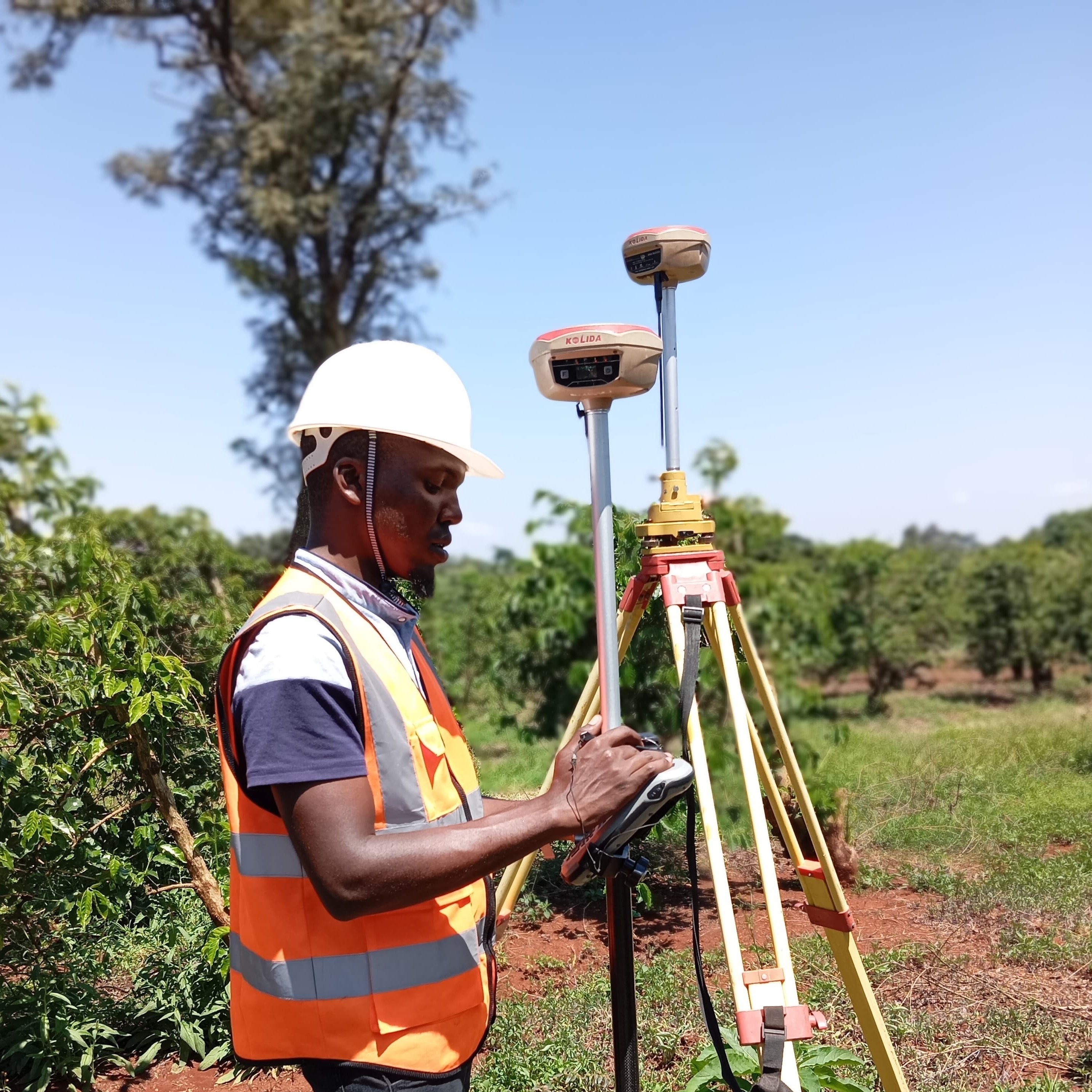
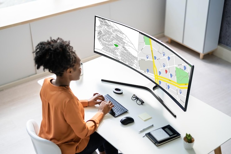
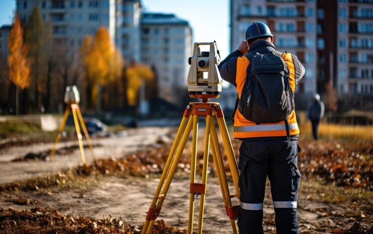
About Orbiscope Geomatics

15+ Years Experience In Geomatics Engineering & Geospatial Information Systems

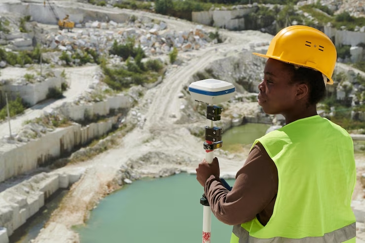
Founded in 2018, Orbiscope has established itself as a leader in providing comprehensive geomatics solutions across North America. Our team combines advanced technical knowledge with deep industry experience to deliver accurate, innovative, and actionable geospatial insights.

Industry-certified professionals with advanced degrees

Cutting-edge technology and methodology

Client-focused approach with proven results

Explore Our Services
Our Journey

The Orbiscope Story

From Vision to Industry Leadership

Orbiscope was Founded in 2018 by a team of geomatics engineers and GIS specialists who recognized the growing need for advanced spatial data solutions. What began as a small consultancy has grown into a comprehensive geospatial services provider with offices across Canada and the United States.

Our initial focus on municipal GIS solutions quickly expanded to include remote sensing, LiDAR processing, 3D modeling, and specialized geospatial analysis for various industries. This growth has been driven by our commitment to technical excellence, client satisfaction, and continuous innovation.

Today, Orbiscope is recognized as an industry leader in geomatics, trusted by government agencies, private corporations, and research institutions to provide accurate, insightful, and actionable geospatial intelligence.

Our Approach & Values

At Orbiscope, we believe that geospatial data is only valuable when it leads to better decisions. Our approach combines technical precision with practical application, ensuring that our solutions address real-world challenges and create tangible benefits for our clients.

Our core values guide everything we do:

  • Technical Excellence: We maintain the highest standards in geomatics engineering and spatial analysis
  • Innovation: We continuously explore new technologies and methodologies
  • Client Partnership: We work collaboratively with clients to understand their needs
  • Integrity: We deliver honest, transparent, and ethical service
  • Environmental Responsibility: We support sustainable development through our geospatial solutions
Our Team

Expert Geomatics Professionals

Joshua Matiti
Land Surveyor
Martin Mbugua
Drone Surveyor
Mirriam Ndunge
GIS specialist