Our Geospatial Services
Comprehensive Geomatics & Geospatial Solutions
We provide a full suite of geomatics engineering and geospatial information systems services to help organizations visualize, analyze, and leverage spatial data for better decision-making.

GIS Mapping & Analysis
Development of custom Geographic Information Systems that transform complex spatial data into actionable insights for strategic planning and operational efficiency.
Read More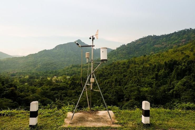
Remote Sensing
Acquisition and analysis of satellite and aerial imagery for environmental monitoring, land use classification, and change detection with advanced analytical techniques.
Read More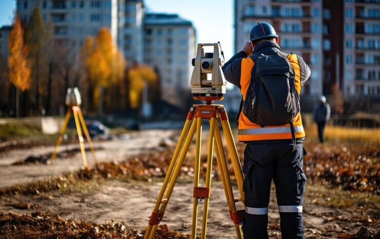
Land Surveying
Precise measurement and mapping of land boundaries, topography, and built structures using state-of-the-art total stations, GPS, and other advanced surveying equipment.
Read More
3D Modeling & LiDAR
Creation of detailed 3D terrain models, building information models (BIM), and processing of LiDAR point clouds for visualization, analysis, and planning applications.
Read More
Drone Mapping
Cost-effective aerial surveys and mapping using unmanned aerial vehicles (UAVs) for project planning, monitoring, and inspections with centimeter-level precision.
Read More
Spatial Database Design
Development of robust spatial databases and enterprise GIS solutions that enable efficient storage, retrieval, management, and analysis of geographic information.
Read More